COURSE OVERVIEW
DE0694 : Surface / Subsurface Model Integration
OVERVIEW
| COURSE TITLE | : | DE0694 : Surface / Subsurface Model Integration |
| COURSE DATE | : | Feb 09 - Feb 13 2025 |
| DURATION | : | 5 Days |
| INSTRUCTOR | : | Mr. Konstantin Zorbalas |
| VENUE | : | Dubai, UAE |
| COURSE FEE | : | $ 8000 |
| Request For Course Outline | ||
Course Description
This hands-on, highly-interactive course includes real-life case studies and exercises where participants will be engaged in a series of interactive small groups and class workshops.
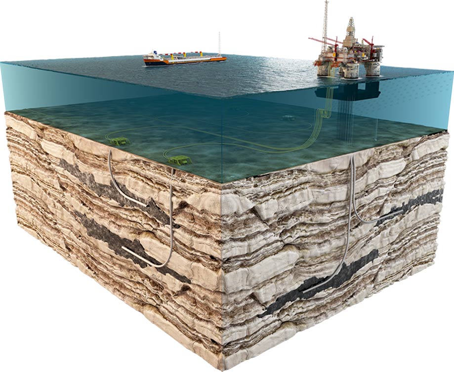
This course is intended for geoscientists, engineers and other technical staff who want to analyze and integrate image, log and dip data to enhance their understanding of exploration plays and field development. It leans heavily on worked class examples and case studies. Instead of interpreting image and dip data in isolation, the course shows how they can be used in conjunction with cores, other logs, modern depositional analogues, outcrop studies and hi-resolution seismic data to refine reservoir models.
This course is designed to provide an up-to-date overview on subsurface facies analysis integrating borehole images and well logs with rock physics and seismic data to develop geologic models. It covers the image, dip acquisition and processing; the various exercises with some real data; the guide to image quality; the structural analysis using image and dip data; the various types of sedimentary basins in different tectonic contexts; the large-scale tectonic settings of main types of sedimentary basins and relationship between structural style and fill patterns; and distribution patterns and the correlation in different sedimentary settings.
By the end of the course, participants will be able to identify the role of analogs in building reservoir models in different depositional settings and the sediment generation and supply in different settings; recognize the fluid dynamics and rheology of erosion, transport and deposition; analyze the basic mechanics of sediment erosion, transport, deposition, resultant bedforms and sedimentary structures; carryout stratigraphic analysis using image and dip data; differentiate eolian sediments, fluvial sediments, and deltaic sediments; illustrate sequence stratigraphy; and recognize carbonate shelf sediments, fracture systems and geothermal systems in volcanic rocks.
link to course overview PDFTRAINING METHODOLOGY
This interactive training course includes the following training methodologies:
LecturesPractical Workshops & Work Presentations
Hands-on Practical Exercises & Case Studies
Simulators (Hardware & Software) & Videos
In an unlikely event, the course instructor may modify the above training methodology for technical reasons.
VIRTUAL TRAINING (IF APPLICABLE)
If this course is delivered online as a Virtual Training, the following limitations will be applicable:
| Certificates | : | Only soft copy certificates will be issued |
| Training Materials | : | Only soft copy materials will be issued |
| Training Methodology | : | 80% theory, 20% practical |
| Training Program | : | 4 hours per day, from 09:30 to 13:30 |
RELATED COURSES

DE0815 : Water Injection Technology: Water Flooding A-Z
- Date: Jan 11 - Jan 15 / 3 Days
- Location: Doha, Qatar
- Course Details Register

DE0972 : Well Integrity Management
- Date: Jan 11 - Jan 15 / 3 Days
- Location: Doha, Qatar
- Course Details Register

DE0805 : Coring and Core Analysis
- Date: Jan 11 - Jan 15 / 3 Days
- Location: Doha, Qatar
- Course Details Register

DE0624 : Understand Water Flooding, Reservoir Souring and Water Breakthrough
- Date: Jan 11 - Jan 15 / 3 Days
- Location: Doha, Qatar
- Course Details Register