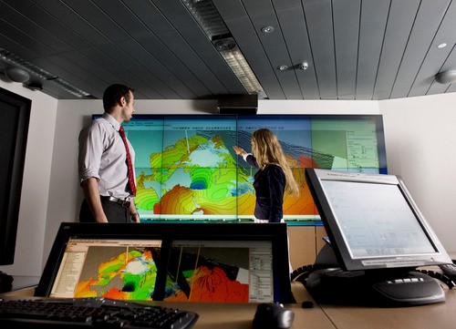
COURSE OVERVIEW
GE0053 : Seeing from Above: Remote Sensing & Photogrammetry

OVERVIEW
| COURSE TITLE | : | GE0053 : Seeing from Above: Remote Sensing & Photogrammetry |
| COURSE DATE | : | Feb 24 - Feb 28 2025 |
| DURATION | : | 5 Days |
| INSTRUCTOR | : | Mr. Ahmed Al-Tayeb |
| VENUE | : | Abu Dhabi, UAE |
| COURSE FEE | : | $ 5500 |
| Register For Course Outline | ||
Course Description
This practical and highly-interactive course includes various practical sessions and exercises. Theory learnt will be applied using our state-of-the-art simulators.
This course is designed to provide participants with a detailed and up-to-date overview of Arc-GIS Pro Geospatial Data Management. It covers the Geographic Information Systems (GIS) and their importance in utilities; the interface and basic functionalities of ArcGIS Pro; the best practices for data management including data importing and exporting; the coordinate systems and correct projections for utility-specific data; and the geodatabases, layer properties and symbology for better data visualization.
Further, the course will also discuss the advanced editing tools and topological rules; integrating data from multiple sources and automating repetitive tasks using ModelBuilder; the tools and techniques available in ArcGIS for spatial analysis; the utility networks for optimization of routes and services; the use of GIS for water resource management including watershed and flood analysis; the 3D mapping and analysis; the basics of Python scripting to automate spatial analysis tasks; and the advanced cartography and techniques for creating clear and informative maps including layout design and map elements.
During this interactive course, participants will learn the interactive maps and apps for internal use or public engagement; developing dashboards to monitor utilities and report key metrics effectively; the mobile GIS for field data collection and real-time updates; the best practices for sharing and securing geospatial data within and outside the organization; troubleshooting common GIS issues and developing custom tools in ArcGIS to address specific needs in utilities management; managing GIS projects including timelines, resource allocation and stakeholder communication; and integrating GIS with other IT systems in the utility sector for enhanced data utilization.
link to course overview PDFTRAINING METHODOLOGY
This interactive training course includes the following training methodologies:
LecturesWorkshops & Work Presentations
Case Studies & Practical Exercises
Videos, Software & Simulators
In an unlikely event, the course instructor may modify the above training methodology for technical reasons.
VIRTUAL TRAINING (IF APPLICABLE)
If this course is delivered online as a Virtual Training, the following limitations will be applicable:
| Certificates | : | Only soft copy certificates will be issued |
| Training Materials | : | Only soft copy materials will be issued |
| Training Methodology | : | 80% theory, 20% practical |
| Training Program | : | 4 hours per day, from 09:30 to 13:30 |
RELATED COURSES

GE0053 : Seeing from Above: Remote Sensing & Photogrammetry
- Date: Feb 24 - Feb 28 / 3 Days
- Location: Abu Dhabi, UAE
- Course Details Register

GE0017 : P&IDs, Pipe Sizing, Piping Layouts & Isometrics
- Date: May 04 - May 08 / 3 Days
- Location: Al Khobar, KSA
- Course Details Register

GE0209 : Electrical / Instrumentation Design and Drafting
- Date: May 25 - May 29 / 3 Days
- Location: Dubai, UAE
- Course Details Register

GE0051 : Mechanical Blue Print Reading
- Date: Feb 23 - Feb 27 / 3 Days
- Location: Dubai, UAE
- Course Details Register
