COURSE OVERVIEW
DE0230 : Introduction to 3D Modeling
OVERVIEW
| COURSE TITLE | : | DE0230 : Introduction to 3D Modeling |
| COURSE DATE | : | Aug 17 - Aug 21 2025 |
| DURATION | : | 5 Days |
| INSTRUCTOR | : | Mr. Konstantin Zorbalas |
| VENUE | : | Dubai, UAE |
| COURSE FEE | : | $ 8000 |
| Request For Course Outline | ||
Course Description
This practical and highly-interactive course includes various practical sessions and exercises. Theory learnt will be applied using the geological modelling software.
Geological modelling (analogue & numerical) is increasingly becoming a strategic tool in studies of the Earth, influencing scientific, technical and economic decision-making. Accurate predictions of geological processes require a multiscale and multidisciplinary understanding of the Earth, obtained through a combination of measurements, theory and interpretation. Geological models are usually used qualitatively in seismic interpretation. This course illustrates that quantitative representations of detailed geological models can significantly enhance seismic attribute interpretation through facies classification. In this course, we aim to create a more accurate representation of the reservoir by using 3D synthetic Earth models to guide seismic attribute classification.
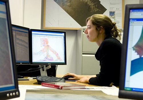
3D modeling/visualization is a very powerful tool for understanding geological data, and gives superior opportunities for quality control, detection and correction of inconsistent data. All structural data can be viewed simultaneously in respect of spatial relationship of surfaces and faults. This gives the possibility to compare 3D surfaces with formation tops from well log data, contours and log curves in 3D space. With 3D visualization, errors and data inconsistency become obvious when different types of data from different sources, e.g. seismic interpretations and well log data, do not match. By excluding errors like this, the area of interest can be modeled with more accuracy, which will result in more accurate volume calculations and fewer uncertainties in development of a field.
The 3D-visualization tool used in this course is Petrel software which is an integrated Windows based software solution that enables you to solve your subsurface challenges from seismic interpretation through to reservoir simulation and on to drilling. Petrel eliminates the communication problems that exist between different software packages and associated technical disciplines. All work processes in Petrel contribute to developing and refining the same reservoir model, static to dynamic. The Petrel seismic toolkit allows for rapid 2D & 3D seismic interpretation. Sample your seismic data directly into your 3D reservoir model to predict pay, and bias reservoir property distribution using a geostatistical approach.
TRAINING METHODOLOGY
This interactive training course includes the following training methodologies:
LecturesPractical Workshops & Work Presentations
Hands-on Practical Exercises & Case Studies
Simulators (Hardware & Software) & Videos
In an unlikely event, the course instructor may modify the above training methodology for technical reasons.
VIRTUAL TRAINING (IF APPLICABLE)
If this course is delivered online as a Virtual Training, the following limitations will be applicable:
| Certificates | : | Only soft copy certificates will be issued |
| Training Materials | : | Only soft copy materials will be issued |
| Training Methodology | : | 80% theory, 20% practical |
| Training Program | : | 4 hours per day, from 09:30 to 13:30 |
RELATED COURSES

DE0805 : Coring and Core Analysis
- Date: Jan 11 - Jan 15 / 3 Days
- Location: Doha, Qatar
- Course Details Register

DE0624 : Understand Water Flooding, Reservoir Souring and Water Breakthrough
- Date: Jan 11 - Jan 15 / 3 Days
- Location: Doha, Qatar
- Course Details Register

DE0815 : Water Injection Technology: Water Flooding A-Z
- Date: Jan 11 - Jan 15 / 3 Days
- Location: Doha, Qatar
- Course Details Register

DE0972 : Well Integrity Management
- Date: Jan 11 - Jan 15 / 3 Days
- Location: Doha, Qatar
- Course Details Register